Programmatic Updates: Applications We've Been Watching
Three land-use decisions moved during July 2026—one adopted over our objection, one still pending, one denied. Here's where each stands and what comes next.
City of Langley Adopts Coles Valley Land Use Agreement
In a unanimous vote at their Monday, July 20 meeting, the Langley City Council adopted a Land Use Agreement for the “Coles Valley” site, replacing the 2005 annexation agreement and clearing a hurdle for a proposed project of up to 65 single-family lots and two cottage tracts—a substantial increase over the 24 detached homes allowed under the 2005 agreement, before accounting for the accessory dwelling units (ADUs) now permitted under Washington State law.
As the City noted, the agreement does not itself approve any development—that still runs through the Preliminary Long Plat process (PLP-25-001 — a process that determines the division of land into lots for the purpose of sale, lease, or transfer of ownership). That application remains in staff review: the City issued a second review letter in June 2026 requesting additional and corrected information, and the applicant must respond before it can advance. Once staff deem the submittal sufficient, they will issue a SEPA environmental determination and schedule a noticed public hearing before the Hearing Examiner—the next real opportunity for public input. We'll be watching for that notice and will keep members informed.
Forested Wetland Parcel Under Logging Threat (Wildes Rd/Quade Creek)
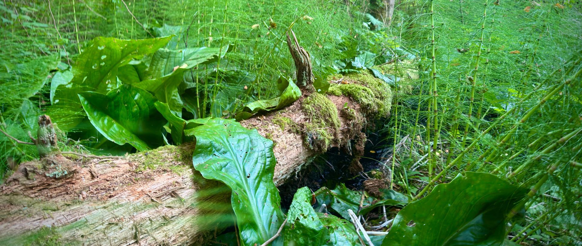
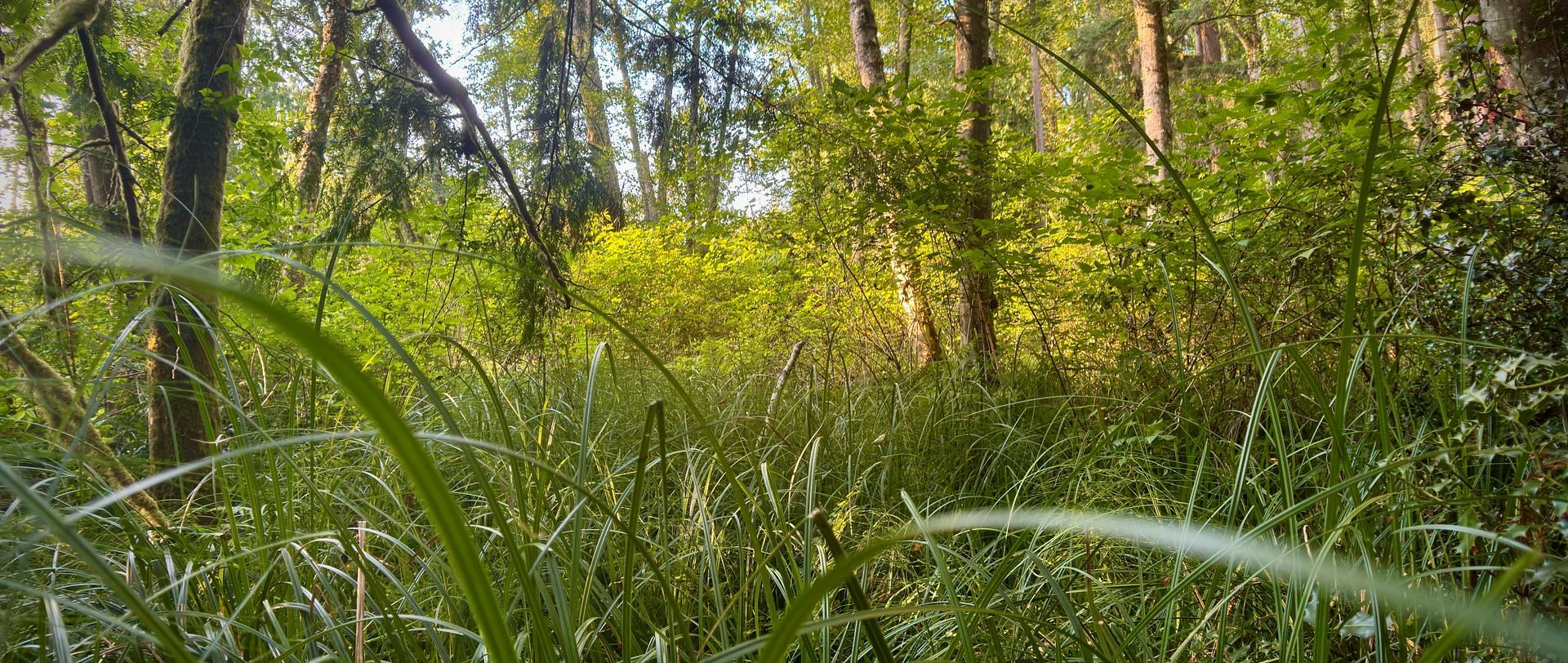
WEAN has been working with concerned neighbors, nonprofit partners, and the landowners to explore a conservation option for a proposed 37-acre clearcut at the headwaters of Quade Creek—a salmon-bearing tributary of the Maxwelton Watershed—and we remain hopeful that a change of course is possible.
From a South Whidbey Record article on the subject,
“Quade Creek feeds into Maxwelton Creek and the broader Maxwelton Watershed and is a known salmon habitat. Marnie Jackson, executive director of Washington Environmental Action Network, said removing trees from the site could increase flooding, clog culverts and threaten downstream roads, habitat and property. Jackson contends the permit underreports the wetlands and steep slopes on the property, making it especially vulnerable to erosion and downstream impacts if logged. These factors combine to make this a very vulnerable property in terms of the potential for erosion and significant downstream impacts if it is logged.”
WEAN has been reassured that the DNR forester will conduct a thorough review of on-site conditions with an ID team including a fisheries biologist, a wetland ecologist, and tribal representatives. We are cautiously optimistic that the outcome will be a permit denial, on the grounds that the land is steeper and holds more complex wetlands than the application represented.
DNR expects to make a decision by July 31.
San De Fuca Certificate of Zoning Compliance Denial
Island County has denied a certificate of zoning compliance that sought to confirm the legality of more than 40 lots from a late-1800s subdivision near Arnold Road and Highway 20—a proposal WEAN opposed. We are relieved by the denial and hope the county will now build a proactive program to inventory and clear these archaic paper plats from the record, sparing the public and county staff from answering such untenable applications one at a time. Read Whidbey News-Times coverage on the subject.
WEAN will continue to provide updates as matters evolve. Stay tuned!